Transportation in India – Importance of Transport in India
Are you ready for UPSC Exam? Check your preparation with Free UPSC Mock Test
Indian geography represents a multipurpose transport network. Highways, railways, airways, and waterways feature as its predominant transportation networks in India to ferry goods and people in, around, and across the country.
In fact, transport is a pivotal means to connect people and services located far off places. Or else put it, transport in India is a boon which caters to socio-cultural and economic exchanges between its various states, union territories, and international borders.
This article discusses the different modes of transportation in India. It details the roadways, railways, waterways, and airways as the primary means of transportation within and across the nation.
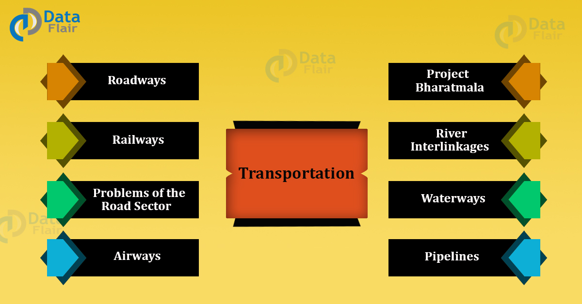
Modes of Transportation in India
1. Roadways
- Roadways began during the time of the Mughal Emperor Sher
- Shah Suri who built roads between Indus Valley in the northwest to the Sonar Valley in the east.
- At present, roadways in the country are managed by the National Highway Authority of India (NHAI in 1995)
- National Highways comprise 1.6%of the total road strength in India
- There are 228 national highways in the country
- The state of Uttar Pradesh constitutes the highest length of national highways in India
- Indian roadway system also connects it with its neighboring countries
- The Border Road Organization (1963) regulates the International Highway Borders of India.
- The World Bank finances the International Border authorities.
- India has one of the largest road networks in the words (42.3 lakh km).
- Roadways in India carry 85% of passengers and 70% of the traffic.
- It was renamed as the Grand Trunk (GT) during the British era, connecting Calcutta and Peshawar.
- The National Highways contribute around 40% of the road traffic.
- The State Highways constitute 4% of the total road length.
- District roads contribute 60.83% of total length of roads in India.
80% of the roads in India are rural roads. - Kerala features the highest road density (517.77 km) while Jammu and Kashmir has the lowest road density (12.14 km).
Highways of India
Some of the famous highway connectivities in India are listed hereby:
| Highway | Route |
| NH 1 | Delhi-Ambala-Jalandhar-Amritsar-Indo-Pak Border |
| NH 1A | Jalandhar-Madhopur-Jammu-Banihal-Srinagar-Baramula-Uri |
| NH 1B | Batote-Doda-Kishtwar-Sinthan pass – Khanabal |
| NH 1C | Domel to Katra |
| NH 1D | Srinagar-Kargil-Leh |
| NH 2 | Delhi-Mathura-Agra-Kanpur-Allahabad-Varanasi-Mohania-Barhi Palsit-Baidyabati-Bara-Calcutta |
| NH 2A | Sikandra to Bhognipur |
| NH 2B | Burdwan – Bolpur road (via Talit, Guskara, and Bhedia) |
| NH 3 | Agra-Gwalior-Shivpuri-Indore-Dhule-Nasik-Thane-Mumbai |
| NH 4 | Junction with National Highways No. 3 near Thane-Pune Belgaum-Hubli-Bangalore-Ranipet-Chennai |
| NH 4A | Belgaum-Anmod-Ponda-Panaji |
| NH 4B | Jawaharlal Nehru Port Trust near Km 109-Palaspe |
| NH 5 | Junction with National Highways No. 6 near Baharagora-Cuttack Bhubaneshwar-Visakhapatnam -Vijayawada-Chennai |
| NH 5A | Junction with National Highway No. 5 near Haridaspur-Paradip Port |
| NH 6 | Hajira-Dhule-Nagpur-Raipur-Sambalpur-Baharagora-Calcutta |
| NH 7 | Varanasi-Mangawan-Rewa-Jabalpur-Lakhnadon-Nagpur-Hyderabad-Kurnool-Bangalore-Krishnagiri-Salem-Dindigul-Madurai-Cape-Kanyakumari |
| NH 7A | Palayamkottai-Tuticorin Port |
| NH 8 | Delhi-Jaipur-Ajmer-Udaipur-Ahmedabad-Vadodara-Mumbai |
| NH 8A | Ahmedabad-Limbdi-Morvi-Kandla-Mandvi-Vikhari-Kothra-Naliya Narayan Sarovar |
| NH 8B | Bamanbore-Rajkot-Porbandar |
| NH 8C | Chiloda to Sarkhej |
| NH 8D | Chiloda-Gandhinagar-Sarkhej |
| NH 8E | Somnath to Bhavnagar |
| NH 9 | Pune-Sholapur-Hyderabad-Vijayawada-Machilipatnam |
| NH 10 | Delhi-Fazilka-Indo Pak Border |
| NH 11 | Agra-Jaipur-Bikaner |
| NH 11A | Manoharpur-Dausa-Lalsot-Kothum |
| NH 12 | Jabalpur-Bhopal-Khilchipur-Aklera-Jhalawar-Kota-Bundi-Deoli Tonk-Jaipur |
| NH 18 | Junction with NH 7 near Kurnool and Nandyal to Cuddapah and Junction with NH 4 near Chittoor |
| NH 19 | Ghazipur-Balia-Patna |
| NH 20 | Pathankot -Mandi |
| NH 21 | Junction with National Highway No. 22 near Chandigarh-Ropar-Bilaspur-Mandi-Kullu-Manali |
| NH 22 | Ambala to Indo China Border near Shipkila |
| NH 23 | Chas-Ranchi-Rourkela-Talcher- Junction with National Highway No. 42 |
| NH 24 | Delhi- Bareilly-Lucknow |
| NH 27 | Allahabad to Mangawan |
| NH 29 | Gorakhpur to Varanasi |
| NH 30 | Junction with NH 2 near Mohania and Patna to Bakhtiyarpur |
| NH 35 | Barasat to Petrapole on India and Bangladesh border |
| NH 39 | Numaligarh to Palel and Indo Burma Border |
| NH 47 | Salem to Kanyakumari |
| NH 47A | Junction with NH 47 at Kundanoor to Willington Island in Kochi |
| NH 47C | Junction with NH 47 at Kalamassery to Vallarpadam ICTT in Kochi |
| NH 55 | Siliguri to Darjeeling |
| NH 56 | Lucknow to Varanasi |
| NH 58 | Delhi to Mana Pass |
| NH 79 | Ajmer-Nasirabad-MP border |
| NH 151 | Karimganj – Bangladesh Border |
| NH 152 | Patacharkuchi-Bhutan border |
| NH 153 | Ledo – Lekhapani – Indo / Myanmar – Border |
| NH 233 | The highway starting from India/Nepal border (connecting to Lumbini) via Naugarh, Siddharthnagar, Bansi, Basti, Tanda, Azamgarh and terminating at Varans |
In addition to the above National Highways, India also commissions the construction of famous roadway projects. A highlight of these projects is mentioned below:
1. Golden Quadrilateral connecting Delhi, Mumbai, Kolkata and Chennai (a six-lane highway project)
2. The east-west corridor connecting Silchar and Porbandar
3. The north-south corridor connecting Srinagar and Kanyakumari
- Apart from central highways, the state government and small districts (60.83% of the total road strength) also commissioned the construction of useful highways within the states. Maharashtra features the highest length of state and district installed highways in the country.
- The Pradhan Mantri Gram Sadak Yojna (PMGSY; 2000) issues villages authorities the power to construct local highways linking villages and the cities.
- Further to the above, the country also launched a project Bharatmala to construct a highway from Gujarat to Mizoram. This highway stretches at a distance of 5300 km.
- Setubharatam is expected to build 400-500 over bridge roads in the country.
- Rashtriya Rajmarg Zila Sanjoyokta Pariyojana connects around 100 districts across India.
- NH44 (3745 km) is the longest national highway in India.
- NH47A (6 km) is the shortest national highway in India
Major Corridor Projects of India
| Amritsar-Kolkata | Punjab, Haryana, Uttar Pradesh, Uttarakhand, Bihar, Jharkhand & WB | Wholly by GOI, funded by WB |
| Mumbai Bengaluru | MH, Karnataka | Britain |
| Chennai-Bengaluru | Karnataka, TN, Andhra (Rayalaseema region) | JICA (Japan International Cooperation Agency) |
| Delhi Mumbai (launched & Biggest) | UP, Delhi, Haryana, Rajasthan, Gujarat, and Maharashtra. |
Problems of Road Sector in India
- Involves high risks as roads are frequently prone to accidents
- Involves large scale land acquirements due to construction of toll booths
- Environmental and rehabilitation concerns of the displaced population
- Massive traffic risks
- Profit demands of private investors
- Time-consuming constructions
- Economic returns come after a long duration
- Usually, deter private investments
2. Railways in India
- Railways in India are found in three gauges:
1. Broad gauge: 70.72% (1.675 m)
2. Meter gauge: 92% (1 m)
3. Narrow gauge: 5.36% (0.61 and 0.62 m) - Duronto Express is the fastest train in India (known as restless in Bengali)
- Railways in India is divided into 16 zones covering a stretch of 63,221 km
The Railway headquarters of the different railway’s divisions are mentioned below:
| Central Railways | Mumbai Central |
| Northern Railways | Baroda House, New Delhi |
| Eastern Railways | Kolkata |
| Western Railways | Mumbai Churchgate |
| Southern Railways | Chennai Central |
| North Central Railway | Allahabad |
| East Central Railway | Hajipur |
| West Central Railway | Jabalpur |
| South Central Railway | Secunderabad |
In addition to dedicated railways, India also features a network of rapid metro trains in selected states and cities.
- The first rapid metro in India begun in Kolkata
- Other states and union territories with metro services are Delhi, Mumbai, Bangalore, Jaipur, Chennai, and Gurgaon.
Project Bharatmala
- A road stretching along India’s vast west-to-east approximately 5300km, from Gujarat to Mizoram
- It connects it to a road network in coastal states, from Maharashtra to Bengal
- This is a road network is the garland territory of India
- The Bharat Mala plan has a strong strategic component
- It’s India’s attempted answer to improve reach and linkage in border areas, at par with China
3. Airways in India
- Initiated in 1911 over a short distance of 10 km between Allahabad and Naini
- The Airport Authority of India manages the Indian Airways
- Airways got nationalized (Indian Airlines/Air India) in the year 1953
- Pawan Hans features a helicopter service in India to connect the states and districts of the northeast.
- There are 125 airports in India
- The Indian aviation industry has made air travel cheaper
- The authority provides registration to all functional aircrafts
- It also grants approval certificates to the aircraft holding agencies
- Licensing of pilots, flight maintenance and technical issues are dealt with by seasoned engineers
- Licensing of aircraft controllers
- Certification of aerodromes
- Investigation of air services in case of accidents and emergency
- Motivating indigenous designs and aircraft manufacturing
4. Waterways in India
- Managed by the Inland Waterways Authority of India (IWAI)
- Only central government undertakes jurisdiction or waterways projects in India
- Waterways comprise a total of 1% of transportation in India
- It stretches along with a distance of 14500 hm across the country
The major waterway connectivities in India are as follows:
| Inland Waterways Number | Linkages |
| 1 | Ganga- Bhagirathi- Hooghly river system |
| 2 | Sadiya-Dubri stretch in Brahmaputra river system |
| 3 | West coast canal- Champakara canal- Udyogamandal canal |
| 4 | Kakinada- Godavari- Krishna river system |
| 5 | Talcher- Paradip in Odisha |
| 6 | Lakhipur- Banga- Barak river system (proposed) |
River Interlinkages in India
The National Water Development Agency recognizes 14 links under the Himalayan Component and 16 under the one for Peninsular Rivers. From these, the top 5 projects are:
- Ken-Betwa
- Parbati-Kalisindh -Chambal
- Damanganga-Pinjal
- Par-Tapi-Narmada
- (Polavaram)-Krishna (Vijayawada)
Project Sagarmala
- The objective is to improve Maritime services in India
- Port direct and indirect growth and development
- Furnish decent infrastructure for transportation
- Frames appropriate policies to accomplish its objectives
- Provides good institutional frameworks for collaborations
- Advances integrated development
- Effective evaluation of portlands
Two major ports under this project are Sagar, West Bengal, and Dugarajapatnam, Seemandhra.
Project initiatives are mentioned hereby:
- Port-led industrialization
- Port-based urbanization
- Port-based and coastal tourism and recreational activities
- Short-sea shipping coastal shipping and Inland Waterways
- Transportation
- Shipbuilding, ship repair, and ship recycling
- Logistics parks, warehousing, maritime zones/services
- Integration with hinterland hubs
- Offshore storage, drilling platforms
- Specialization of ports in certain economic activities such as energy, containers, chemicals, coal, agro products, etc.
- Offshore Renewable Energy Projects with base ports for installations
Indian Ports
The list of major Indian ports in India is as follows:
| Mumbai | Natural harbor & biggest port of India (Gateway of India)Handles approx. 1/5th of India’s foreign trade. |
| Nava Seva | Jawaharlal Port (Highly Mechanized Port), Mumbai |
| Chennai | Oldest artificial harbor on east coast & 2nd largest port in terms of volume of traffic |
| Ennore | 1st corporate port (To release pressure on Chennai port) |
| Tuticorin (TN) | On Eastern coast of India |
| Kandla | Tidal Port (To release pressure on Mumbai port, developed after the partition of India), Gujrat |
| Kochi | A natural harbor |
| Visakhapatnam | Deepest artificial harbor on the east coast |
| Kolkata | Riverine Port (Handles goods coming from SE Asian countries Australia & New Zealand) |
| Haldia | Developed on river Hooghly to relieve pressure on Kolkata port |
| Paradip | Located on Orissa coast |
| Mormugao | In Goa ( 5th in total traffic handled) |
| New Mangalore | On New Mangalore |
Pipelines in India
- The pipeline transport network is a new sort of transportation in India.
- In the past, these were used to transport water to cities and industries.
- Now, these are used for transporting crude oil, petroleum products, and natural gas from oil and natural gas fields to refineries, fertilizer factories, and big thermal power plants. The initial cost of laying pipelines is high but subsequent running costs are minimal.
- Additionally, It rules out trans-shipment losses or delays.
There are three significant networks of pipeline transportation in India
- From oil fields in upper Assam to Kanpur (Uttar Pradesh), via Guwahati, Barauni and Allahabad.
- From Salaya in Gujarat to Jalandhar in Punjab, via Viramgam, Mathura, Delhi, and Sonipat.
- Gas pipeline from Hazira in Gujarat connects Jagdishpur in Uttar Pradesh, via Vijaipur in Madhya Pradesh.
Conclusion
This was all about the transportation system in India. The article has explained the different modes of transportation and commutation in the country. Each of the above-listed transports has their specific pros and cons.
As a responsible citizen, each individual should take care of and maintain the hygiene of our transport networks. In short, transportation is the part and parcel of the contemporary scenario.
It is indeed a modernized and advanced technology utilized for everyday and occasional purposes.
You give me 15 seconds I promise you best tutorials
Please share your happy experience on Google


Aa puzappam mila atharakum