The Peninsular Plateau of India – Indian Geography
Are you ready for UPSC Exam? Check your preparation with Free UPSC Mock Test
One of India’s apex and highly significant physical divisions is the Peninsular Plateau. The presence of the plateau adds to the geographical beauty of India.
In fact, just like the northern plains, the Peninsular plateau exists as one of the ancient landforms on this planet.
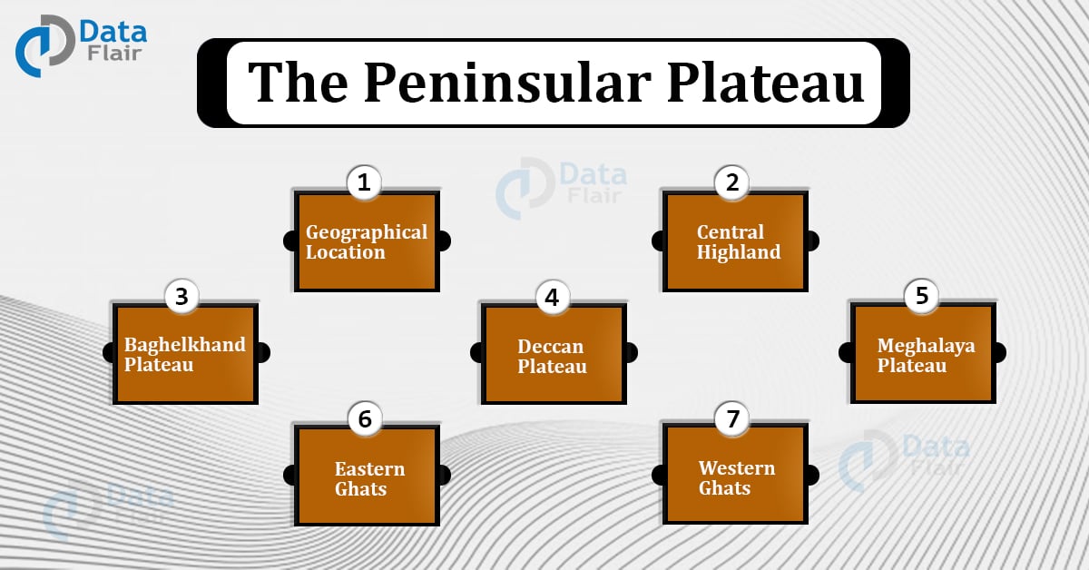
This article illustrates the different features of the Peninsular plateau. It includes discussion on factors such as geographical location, central highlands, and the Deccan Plateau.
In addition to these, it also discusses the Western and the Eastern Ghats followed by a conclusion.
Geographical Location of Peninsular Plateau
The Peninsular Plateau came into existence with the tectonic shift in Gondwanaland. As a result of this ancient shift, a triangular-shaped plateau was formed and characterized by curved hills, and channels.
Landscaping the southern part of India, the Peninsular plateau covers nearly half of the Indian terrain, which is around 16 lakh km squares. The plateau is triangular in shape and the bottom-most point of the Plateau is Kanyakumari.
Moreover, the Plateau features around 900 m above sea level. And to date, it stands straight and erect accounting to only a few slight immersions for the last hundred million years.
Further to this, this Plateau is a rich conglomerate of several different plateaus as well as various river systems.
Besides the above, the Peninsular Plateau covers the following eight states under its territorial regions:
- Rajasthan
- Maharashtra
- Gujarat
- Telangana
- Karnataka
- Tamil Nadu
- Kerala
- Odisha
Next, the Plateau is also referred to as a tableland constituting crystalline igneous and metamorphic rocks. Additionally, three different mountain ranges, the Aravallis, the Vidhyas, and the Satpuras, surround the Peninsular Plateau.
Central Highland of India
It is popularly hailed as the Madhya Bharat Parvat. Located in the north of the Narmada river, Aravallis in the north and Vindhyas in the south surround the Central Highland. The Highland comprises three principal Plateaus.
The description of these Plateaus is as follows:
Malwa Plateau of India
- Mainly considered as the extension of the Deccan Plateau
- The states of Gujarat, Madhya Pradesh, and Rajasthan cover the Malwa Plateau.
- This plateau has a dual drainage system, the Narmada, Tapi, and Mahi rivers towards the Arabian sea and Chambal and Betwa towards the Bay of Bengal.
- Mostly covered with black soil deposits, the Malwa Plateau experiences heavy lava flows.
- These black soil deposits have a great moisture retention capacity and contain a high intensity of sand.
- Dissected by different rivers, the Chambal Ravines mark the Malwa Plateau.
- In addition to Chambal, rivers like Sindh, Ken, Kali, Betwa, and Parbati.
- The Plateau comprises tropical dry teak forests
- The primary trees found in this plateau are Buchanania, Butea, Grewia, Woorfordia, and others.
Bundelkhand Plateau of India
- Located in Madhya Pradesh state of central India, the plateau constitutes the Vindhya hills and is dissected by ravines.
- It has an altitude of 300-600 m above sea level.
- This Plateau has a senile topography and is marked by various gorging channels like Tons, Kenn, Dhasan, and Betwa.
- The Betwa river located in this plateau is used to generate hydropower and excellent for furnishing irrigation facilities.
- It produces good quality diamonds, granite, gneiss, and sandstone.
- It also cultivates crops such as wheat, cotton, grain, sorghum, etc.
Baghelkhand Plateau
- It is an uneven Plateau located in the north of the Malkai ranges.
- It has an altitude of around 150-1200 m
- Comprises limestones and sandstones, granite within its mainland.
- The central part of this Plateau dissects the Mahanadi and the Son rivers.
- No such major disturbances occur in this region.
Chota Nagpur Plateau of India
- Running in the north-south direction, the Chota Nagpur Plateau has an altitude of around 400m.
- Constituted elementally of the Gondwana rocks.
- Located in the north-eastern part of the Central Highland.
- It covers the major areas of Chhattisgarh and Jharkhand.
- To the north-west of it flows the Son river, which eventually joins the Ganges.
- It follows a radial drainage pattern.
- Rivers including the North koel, the South koel, the Subarnarekha, and the Damodhar cut through this Plateau.
- The Rahmahal hills comprise the north-eastern part of Chota Nagpur Plateau.
- There is a presence of Basaltic lava in this Plateau.
Deccan Plateau of India
The name Deccan is derived from the Sanskrit word Dakshina, meaning Dakshin (the south). The Deccan Plateau landscapes an area of about five lakh square km and has an altitude of 600 m in the central region.
Furthermore, the slope of the Plateau runs in the west-east direction, arranging 100 m in the north and 1000 m in the south.
In fact, the Plateau is triangular in shape and different hill ranges bound the plateau from different sides. The Plateau is bound by:
- Satpura and Vindhyas in the north-west
- Mahadev and Maikal in the north
- The Eastern Ghats in the east
- The Western Ghats in the west
Additionally, the Plateau covers the states of Maharashtra, Telangana, Karnataka, and Chhattisgarh. This region is uniquely rich in black cotton soil (regur) and basaltic rocks.
Next, this plateau has produced some of the major dynasties in India. Some of such dynasties are:
- The Pallavas
- The Satavahanas
- Kamma Nakyas
- Marathas
- Deccan Sultanate
- The Nizam of Hyderabad
The major rivers flowing through the Deccan Plateau are:
- Godavari
- Indravati
- Tungabhadra
- Krishna
- Bhima
- Kaveri
The banks of these rivers are utilized to generate hydroelectric power and furnish irrigation facilities in the nearby states.
Besides the above, the soil of this plateau is excellent for cultivating cereals, cotton, oilseeds, pulses, legumes, etc. It also constitutes a rich intensity of timber, firewood, bamboo, coal, asbestos, mica, iron, kyanite, etc.
Meghalaya Plateau of India
- Also known as the Shillong Plateau, it is located in the eastern Meghalaya.
- The plateau bears a structure of a rolling tableland.
- It is believed that during the evolution of the Himalayas, a fault was created between Rajmahal hills and Meghalaya Plateau.
- The Plateau has a high eroded terrain.
- Hills such as Garo, Khasi, and Jaintia surround the Meghalaya Plateau from three sides.
- It is primarily composed of ancient rocks, iron ores, coal,lime. Sillimanite and uranium
- The highest point of this Plateau is 6,433 feet high.
- Cherappunji, the land of maximum rainfall in the country, is located on this Plateau.
Eastern Ghats of India
The Eastern Ghats denotes a belt of discontinuous mountain ranges on the east coastline of India. The Ghats are disrupted by deep valleys and extensive gorges. Located at an elevated level of around 600 m, the Ghats are fertile and consist of rich soil deposits.
Moreover, the Ghats covers five Indian states which are:
- Telangana
- Tamil Nadu
- Odisha
- Tamil Nadu
- Karnataka
Composed of quartzite rocks, limestone, bauxite, and iron ore, the Ghats experience extensive erosion, and non-deposition.
Rivers such as Godavari, Kaveri, Mahanadi, Krishna, and Tungabhara pass through the Eastern Ghats. Further, this location also houses a rich variety of birds and animals including Malabar pied hornbills, blue peafowl, etc.
The Ghats also comprise of various national parks and wildlife sanctuaries such as:
- Coringa Wildlife Sanctuary
- Nilgiri Biosphere Reserve
- Carvery North Wildlife Sanctuary
- Satkosia Tiger Reserve
- Krishna Wildlife Sanctuary
Western Ghats of India
Also known by the name of Sahyadri, the Western Ghats landscape an area of around one lakh forty thousand square km. The Ghats traverse through the states of Karnataka, Tamil Nadu, Goa, Kerala, Maharashtra, and Gujarat. Moreover, the Ghats has an altitude of 2695 km.
UNESCO denotes the Western Ghats a World Heritage site, that is one of the eight biodiversity hotspots on Earth.
Formed after the fragmentation of Gondwana land, these Ghats are about 150 million years old.
The major rivers passing through the Western Ghats are:
- Krishna
- Godavari
- Kaveri
- Tungabhadra
- Thamiraparani
The aforementioned rivers generate hydropower for the adjacent states. Further to this, they are also used for furnishing the facilities of irrigation.
In fact, the Indian government has installed several protected areas in this region. This comprises:
- Biosphere reserves
- 13 National Parks
- Numerous wildlife sanctuaries
In November 2011, The Western Ghats Ecology Expert Panel (WGEEP) characterized these Ghats as the most ecologically sensitive areas.
Similar to the Eastern Ghats, the Western Ghats are also rich in biodiversity. It gives shelter to many plants, birds, and animal species within its landscape.
In fact, there are around 135 species of mammals and 7402 species of flowering plants in the Western Ghats. And Sunderbans located in these Ghats amount to the largest tiger population.
Conclusion
Therefore, the Peninsular plateau carries a prominent relevance in the world geography in general and Indian geography in particular. Composed of mountains, valleys, and ghats, the plateau houses many states, rivers, dams, rocks, flora, and fauna.
In a nutshell, the Peninsular Plateau is the ultimate pride of south India. It characterizes their mainlads, waterlands, food crops, wildlife, and their entire biodiversity.
It is must to know about Peninsular Plateau if you are appearing in competitive exams like UPSC, IAS, etc. Happy Learning!!!!
You give me 15 seconds I promise you best tutorials
Please share your happy experience on Google