The Great North Indian Plains – The Great Plains of India
Are you ready for UPSC Exam? Check your preparation with Free UPSC Mock Test
A significant physical division of India, the Great North Indian Plains plays a pivotal role in Indian geography and competitive exams like UPSC, IAS etc.
Featuring as one of the most fertile landmasses on the Indian territory, these plains are suitable for farming, cultivation, crop production, and other agricultural activities.
Typically, flat in structure and massively populated, the northern plains constitute an extremely high water table and top quality alluvial tracts.
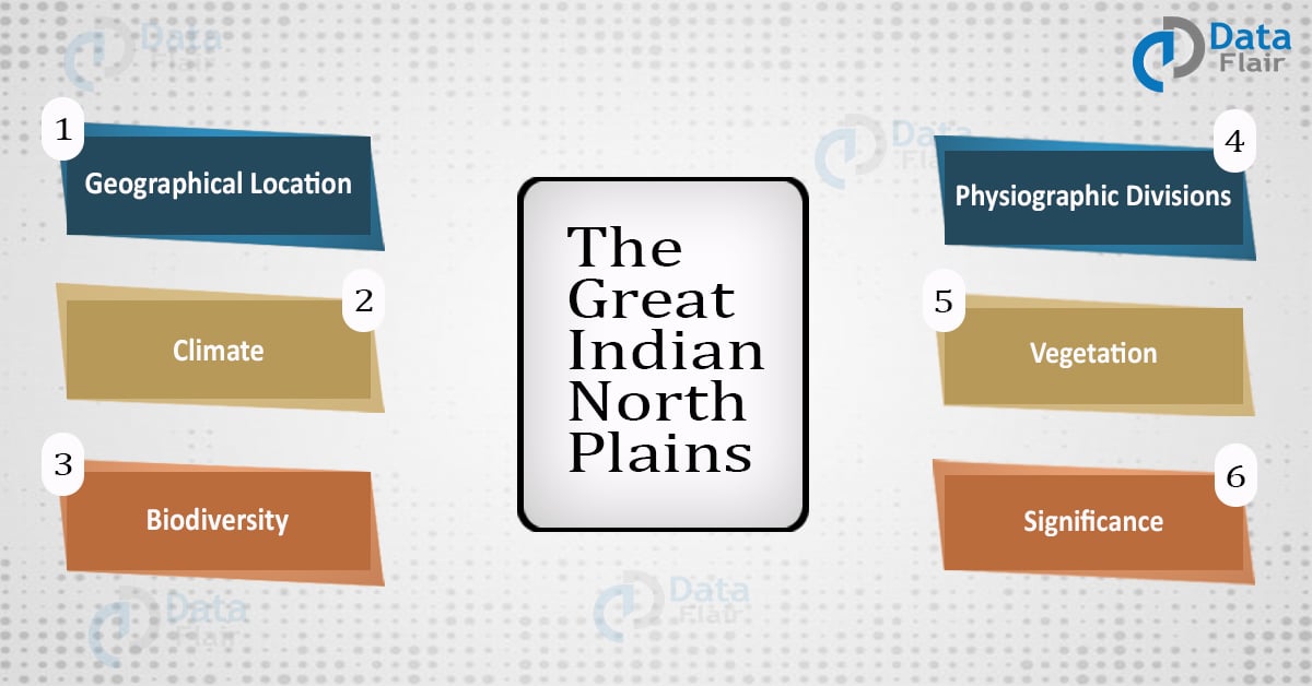
The article describes the great Northern Plains in terms of its geographical location, physiological divisions, climate, soil, etc. Moreover, it also covers an in-depth analysis of the biodiversity and vegetation found in this northern belt.
Geographical Location of Great North Indian Plains
Famously referred to as the Indo-Gangetic plains, the Great Indian Northern plains lie south to the Himalayan belt. Or else put it, the plains situate the Himalayas in the north and the Peninsular Plateau in the south.
The three Himalayan rivers, the Indus, the Ganga, and the Brahmaputra, constitute the formation of these Northern plains.
Additionally, covering an area of around seven lakh square km, the northern plains extend from Rajasthan in the west to the Brahmaputra river in the east.
Rajasthan in the west to Assam in the east.
These plains characterize an average width between 150-300 km. Covering a total area of around 7 lakh square km, the Indo-Gangetic plains have experienced sedimentation deposits over a million years.
This has further resulted in the formation of erosional land pieces such as meanders, braided channels, bars, and oxbow lakes.
Located 200 m above the sea level, these plains comprise massive alluvial deposits. Further to this, the mainland plains are pretty fertile with a maximum number of villages and cities built over its wide region.
Further to this, the great Northern Plains can be classified into four different parts namely:
- Rajasthan Plain
- North Central Plain
- Eastern Plain
- Brahmaputra Plain
Rajasthan Plains
Spread across 2 lakh square km, Rajasthan plains extend over the western parts of Rajasthan. Stretching through the Aravallis, these plains cover portions of Punjab, Gujarat, and Haryana.
This entire plain area was under the sea during the Mesozoic era. Marine sedimentation and wood fossil barks evidence this fact. Comprising an undulating topography, the plains constitute dunes and barchans.
Luni river flows through the western part of these desert plains while the plains feature physical weathering pertaining to their aridity.
Luni river flows through the southern part of Rajasthan plains
However, many short seasonal streams drain these plains making them fertile to a certain extent. These fertile tracts are known as rohi. In fact, the lakes in these plains are used for salt production due to their brackish waters.
North Central Plain
Principally composed of rich alluvial doabs, the North Central Plains stretch over Haryana, Punjab and Western parts of Uttar Pradesh. The part lying in Uttar Pradesh is referred to as Rohilkhand Plain dissected by Gomati, Gandhak, Ganga, Ghaghra and Yamuna rivers.
Ravines heavily erode the northern parts of these plains. Nonetheless, the plains are quite fertile for carrying out different agricultural activities.
The area lying between Yamuna and Ghaggar rivers is popularly denoted as the Haryana tract.
Eastern Plain
It covers eastern Uttar Pradesh, parts of Bihar and West Bengal. The southern part of the plains form the Sundarbans delta, the largest delta in the world. The north part of the delta is known as the Moribund delta while the southern part is called Delta proper.
Rivers like Ghagra, Kosi,Ganga, gandhak and Son pass through these plains before emptying their waters in the Bay of Bengal.
Brahmaputra Plain
Most of the plain lies in Assam. Rich in alluvial deposits, the plain is often prone to massive and frequent floods. Yet, its alluvia sedimentation is suitable for cultivation of jute, rice, wheat, sugarcane etc., thus making it a hub of extensive population.
Further, Majuli in the Brahmaputra river is the largest river island.
Physiographic Divisions of Great Plains of India
The northern plains are classified into three major physiographic divisions:
- The Bhabar
- The Tarai
- The Alluvial Plains
Now let us discuss the principal features of each of these aforementioned divisions.
The Bhabar
- Running in the east-west direction, the Bhabar belt is around 8-10 km long.
- The east side of this division is narrow as compared to the western part.
- This entire belt of 8-10 km runs from the river Indus in the west to the river Teesta in the east.
- This division constitutes coarse rocks and pebbles in high intensity.
- Most of the area under this land is dry, experiencing light to medium showers.
- It is quite unsuitable from crop cultivation.
The Tarai
- Tarai is a mash land to the south of Bhabar.
- Its width is around 10-20 km.
- As opposed to Bhabar, the Tarai division is dense in the eastern part where the river Brahamapura receives heavy annual rainfall.
- It features some underground streams of the Bhabar division.
- Most of the states falling in this region such as Uttar Pradesh, Punjab, and Uttarakhand are used for agricultural purposes.
The Alluvial Plains
The alluvial plains are further divided into two subtypes:
a. The Bhangar
- Comprising dark color, massive humus, and production alluvial soil deposits.
- The soil of the Bhangar is clay and intense in lime.
- It has two regional variations, the Bhur formations in Ganga and Yamuna, and the Barind plains in the Bengal delta.
- It constitutes minor traces of alkaline and saline efflorescence, denoted with names such as khallar, bhur, and reh.
- This also contains the fossil remains of extinct plants and animals.
b. The Khadar
- Occasionally known as the flood plains with intense alluvium deposits
- The Khadar is porous in intensity, light in color and sandy in texture
- Most fertile soil belt out of all, especially around the Ganga region.
- Also referred to as Betlands or bets in the state of Punjab.
- Present along the minor rivers in between Punjab and Haryana. Over here, the khadar division is known as Dhayas.
- The altitude of these Days is about 3m.
Climate of Great North Indian Plains
The great north Indian plains experience a continental kind of climate. Here, by the word continent, it means that most of the states in this belt experience extreme climatic conditions.
Thus, states such as Delhi, Haryana, Punjab, and Uttar Pradesh are extremely hot in summers and extremely cold in winters.
Vegetation of Great North Indian Plains
In addition to fertile soil excellent for irrigation, the Northern constitute rich vegetation, especially in the southeastern parts.
The plains are a home of a large variety of plants and trees. Some of the popular vegetative growths in this region are as follows:
- Sal
- Mangroves
- Hardwood timber trees
More to this, the plains are excellent for growing food crops such as wheat, rice, maize, and sugarcane.
Soil of Great North Indian Plains
- The Northern Plains constitute rich and intense deposits of alluvial soil.
- This soil contains decent amounts of lime, potash, and phosphorus.
- It is ideal for the growth of crops such as paddy, sugarcane, wheat, rice, maize, and other pulse and cereal crops.
Biodiversity of Great Indian Plains
In addition to vegetation and nutrient-rich soil, one may find incredible biodiversity in the northern plains region. Some of the animals are:
- Indian rhinoceros
- Sumatran rhinoceros
- Indian elephants
- Antelope
- Gazelle
- White Pigs
- Striped hyenas and many more.
The plains also inhabit innumerable and beautiful birds within its dimensions. Some of the birds found in these plains are:
- White Breasted Kingfisher
- Red Jungle Fowl
- Great Indian Horned Owls
- Sunbirds and Vultures
- Partridges
- Saragosse and many more.
Significance of Great Indian Plains
- The immense concentration of rural and urban population
- Incorporates vast political, cultural and economic powers
- Delhi, the national capital of India, is located in the northern plains
- Civilizations of Aryavata began in these plains (the epics of Ramayana and Mahabharata took place in this region)
- Witnessed the major civilizations of India such as Lothal, Harappan, Mohenjodaro, etc.
- Comprises many holy sites of pilgrimage such as Mathura, Vrindavan, Ayodhya, etc.
- With a population of around 65 crores, these plains cultivate around 60% of the Indian food production.
Conclusion
Altogether, the great Indian Northern plains play a substantial function in the geographical richness of India. One of the densely populated regions of the country, the plains add to the cultural and the traditional heritage of India.
In a nutshell, the plains are a land of favorable attraction, tourism, and employment opportunities. To reside in this region is itself a fact to be proud of.
Your opinion matters
Please write your valuable feedback about DataFlair on Google


Faming
why nothing has been mentioned about ODISHA PLAIN AREA. Coastal odisha have plane area.
Hi all I am fine with this answer