Major River Basins of India and River Interlinking
Are you ready for UPSC Exam? Check your preparation with Free UPSC Mock Test
A river basin refers to a region accumulating precipitation in order to drain out water from the water outlets. This drained out water subsequently forms into bay, river, lake, or any other form of the water body.
India is denoted as the holy land of sacred rivers and river systems. Thus, it is common for the country to have numerous river basins as well. This article examines the key river basins of India.
Additionally, it also illustrates the various east-flowing and west-flowing rivers. Ultimately, the objective of this article is to enlighten you on the aquatic diversity of the country. This diversity furnishes India with rich geography and an incredible ecosystem.
So let’s start with major river basins of India.
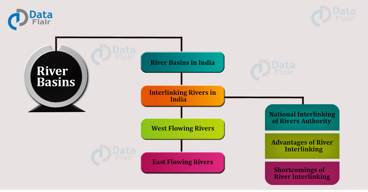
River Basins Of India
Ganga River Basin of India
- Origin: Gangotri Glaciers (as Bhagirathi) in Uttarakhand.
- Constituent rivers: Ganga, Brahmaputra, and Meghna.
- Area cover: 10.86 million square km.
- Location: the Himalayas in the north, Aravallis in the west, Vindhyas, and Chota Nagpur Plateau in the south.
- Countries under cover: China, India, Bangladesh, and Nepal.
- States under cover: Madhya Pradesh, Rajasthan, Bihar, Haryana, West Bengal, Delhi, and Himachal Pradesh.
- Total population: 356.8 million.
Brahmaputra- Barak River Basin of India
- One of the largest river basins in the world.
- Origin: Manipur hills in Manipur.
- Constituent rivers: Ganga, Brahmaputra, and Meghna.
- Area cover: 5,80,000 square km.
- Location: Himalayas in the north, Indo-Burma border in the east, Assam hills in the south, and Ganga basin in the west.
- Countries under cover: India, Bhutan, Bangladesh, and Tibet.
- States under cover: Assam, Nagaland, Arunachal Pradesh, Sikkim, and West Bengal.
- Total Population: 6.2 million
Godavari River Basin of India
- Origin: Nasik in Maharashtra
- Constituent rivers: Pavara, manjra, Purna, Wardha, and Indravati.
- Area cover: 3,13,812 square km
- Location: Bay of Bengal
- Countries under cover: only India
- States under cover: Karnataka, Madhya Pradesh, Odisha, Maharashtra, and Andhra Pradesh
- Total Population: 60 million
Kaveri River Basin of India
- Origin: Brahmagiri hills in the Western Ghats.
- Constituent rivers: Hemavati, Kabini, and Bhavani.
- Area cover: 87,900 square km
- Location: Western Ghats, Plateau of Mysore and Bay of Bengal
- Countries under cover: only India
- States under cover: Karnataka, Kerala and Tamil Nadu
- Total Population: 1027 million
Indus River Basin in India
- Origin: Mansarovar in Tibet
- Constituent rivers:
- Area cover: 11,65,500 square km
- Location: Jammu and Kashmir and Himachal Pradesh
- Countries under cover: China, Pakistan, India, and Afghanistan
- States under cover: Himachal Pradesh, Jammu and Kashmir, Punjab, Chandigarh (UT), Haryana and Rajasthan
- Total Population: 300 million
Mahanadi River Basin in India
- Origin: Rampur district in Madhya Pradesh
- Constituent rivers: Seonath, Jonk, Mand, Telen, Ib, and Ong
- Area cover: 1,41,589 square km
- Location: Northern Plateau, Eastern Ghats, Coastal plains and erosional plains of central tableland
- Countries under cover: Only India
- States under cover: Maharashtra, Bihar, Odisha, and Madhya Pradesh
- Total Population: 38.6 million
Krishna River Basin of India
- Origin: Western Ghats
- Constituent rivers: Bhima, Munsi and Tungabhadra
- Area cover: 2.85,948 square km
- Location: Mahabaleshwar and Araban Sea
- Countries under cover: only India
- States under cover: Maharashtra, Andra Pradesh, and Karnataka
- Total Population: 70 million
Narmada River Basin of India
- Origin: Amarkantak hills in Madhya Pradesh
- Constituent rivers: Buknar, Banjer, Sher, and Uri
- Area cover: 98,796 square km
- Location: Gulf of Cambay and the Arabian Sea
- Countries under cover: Only India
- States under cover: Gujarat, Maharashtra and Madhya Pradesh
- Total Population: 16.733 million
Tapi River Basin of India
- Origin: Betul district in Madhya Pradesh
- Constituent rivers: Vakai, Gomai, Arunavati, and Purna
- Area cover: 65,145 square km
- Location: the Arabian Sea and the Gulf of Cambay
- Countries under cover: only India
- States under cover: Maharashtra, Gujarat and Madhya Pradesh
- Total Population: 4.3 million
Sabarmati River Basin of India
- Origin: Aravalli hills in Rajasthan
- Constituent rivers: Sai, Wakal, Watrak, and Hathmati
- Area cover: 21,674 square km
- Location: the Arabian Sea and the Gulf of Cambay
- Countries under cover: only India
- States under cover: Gujarat, Maharashtra, and Rajasthan
- Total Population: 92.8 lakhs
Mahi River Basin of India
- Origin: Vindhyas in Madhya Pradesh
- Constituent rivers: Anas, Som, and Panam
- Area cover: 34,842 square km
- Location: Rajasthan and Madhya Pradesh
- Countries under cover: only India
- States under cover: Madhya Pradesh and Gujarat
- Total Population: 2.2 million
Pennar River Basin of India
- Origin: Chenna Kasavi hills, Nandi range, Karnataka
- Constituent rivers: Saileru, Chitravati, Papagni, and Jayamangal
- Area cover: 55,213 square km
- Location: Bay of Bengal
- Countries under cover: only India
- States under cover: Karnataka and Andhra Pradesh
- Total Population: 3.5 million
East Flowing Rivers of India
East flowing rivers originate from the eastern coast of India. These rivers stretch along the Eastern Ghats and flow into the Bay of Bengal. A list of these rivers is mentioned below:
- Godavari
- Krishna
- Kaveri
- Mahanadi
- Pennar
- Damodar
- Subarnarekha
- Brahamani
- Plar
- Ponnaiyar
West Flowing Rivers of India
These rivers flow along the west coastline of the Western Ghats and empty themselves in the Arabian Sea. A list of the west-flowing rivers is as follows:
- Narmada
- Tapi
- Sabarmati
- Luni
- Mahi
- Ghaghra
- Sharavati
Interlinking Rivers in India
National Interlinking of Rivers Authority (NIRA)
- Takes up both inter-state and intra-state interlinking of rivers project
- It constitutes members from Jal Shakti Ministry, Central water commission, and NWDA.
- The project came into the picture after recognizing water scarcity in different parts of the country.
- It comprises around 29 canals covering a distance of 9600 km.
- Around 245 trillion tons of water is put to circulation in the interlinking of rivers project.
- As of now, six interlinkings of rivers projects are functional in India. These projects link the following rivers:
a. Manas- Sankosh- Teesta- Ganga
b. Ganga-Bhramaputra- Mahanadi
c. Ganga-Sabarmati- Chambal
d. Betwa- parbati- Kalisindh- Chambal
e. Mahanadi- Godavari
f Godavari-Kaveri
g. Ken-Betwa (First river interlinking project)
h. Damanganga- Pinjal
i. Par- Tapi- Narmada
Advantages of River Interlinking in India
- Control both floods and droughts by transferring water from regions experiencing heavy rainfall and low rainfall respectively.
- Promotes the generation of hydroelectricity.
- Helps in dry weather flow augmentation.
- Helps in controlling pollution, livestock, and fisheries.
- Furnishes the facilities of irrigation in water-deficient regions.
- Improves the condition of inland waterways and seaways.
- Helps in maintaining the navy and defense forces of the country.
Shortcomings of River Interlinking in India
- Expensive projects (requires around 5.6 lakh crores for a single interlink).
- Environmental depletion.
- Migration and displacement of local populations.
- Inter-state disputes over waters.
- International disputes between territorial and oceanic waters.
Conclusion
Thus, rivers in India do not only have an aquatic significance but they foster an intensive cultural and religious heritage. For this reason, the people of this country must preserve their rivers and utilize them wisely.
In fact, each of us must also maintain its aesthetic beauty and therefore, must not degrade their pure waters. To protect our rivers, the government has initiated several schemes and policies a. And we must try our best to adhere to the instructions issued by our government.
Technology is evolving rapidly!
Stay updated with DataFlair on WhatsApp!!
Altogether, let us join our hands together to maintain an accelerate the sanctity of the river basins in India.
Did you know we work 24x7 to provide you best tutorials
Please encourage us - write a review on Google